Who makes the Atlas
For the love of the Chapada
Atlas Veadeiros was born from the friendship of two people who fell for the outdoors of the Chapada.
How it started
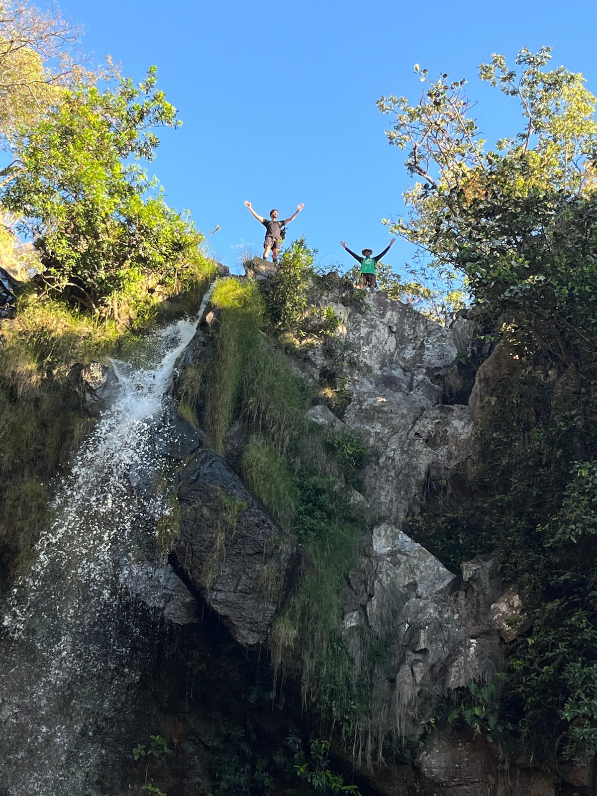
Aurélio Rosa and Nícolas Braga are friends before anything else. What brought them together — and what keeps them climbing trail after trail — is the same love for Chapada dos Veadeiros: the cold water, the rock, the cerrado, the dirt road under the tyres.
From driving all over the region, they kept hitting the same problem. There was no single, honest, complete place that showed everything the Chapada has — the famous waterfalls and the hidden ones, the caves, the lookouts, the pools. The information lived scattered across blogs, Instagram and dozens of sites — each with only a piece.
So they decided to build that place themselves.
Why it’s free
The Atlas is — and always will be — free. The idea is simple: give whoever arrives a clear overview of everything worth visiting, with the height, trail, road and distance from each base town, so people can plan their own trip calmly, at their own pace. And, in the same move, give a stage to the local attractions and guides who almost always stay invisible.
The whole Chapada, on one map — made by people who love this place, for those who want to get to know it.
About the data
There are 118 attractions so far. Today, 94 have their key facts checked against public sources; the rest is a first survey marked as “being verified” — distances, heights and road conditions are still being confirmed with guides, residents and the Kalunga community.
Driving distances are calculated by road (a real route), not in a straight line — and they depend on the exact position of each attraction, something we check little by little, point by point, with people who know the way.
How to help
Know a waterfall that’s missing, the real height of a drop or the exact condition of a road? That correction is worth gold. Every attraction page has a “Found an error?” button: just point out what’s wrong and what’s right — it comes straight to us, no sign-up. Much of the data has already been refined this way, with guides, residents and the Kalunga community.
What’s next
- FPV (drone) videos on more attractions, beyond the top of the page
- Transport, food and lodging
- Ready-made itineraries by number of days and by base town